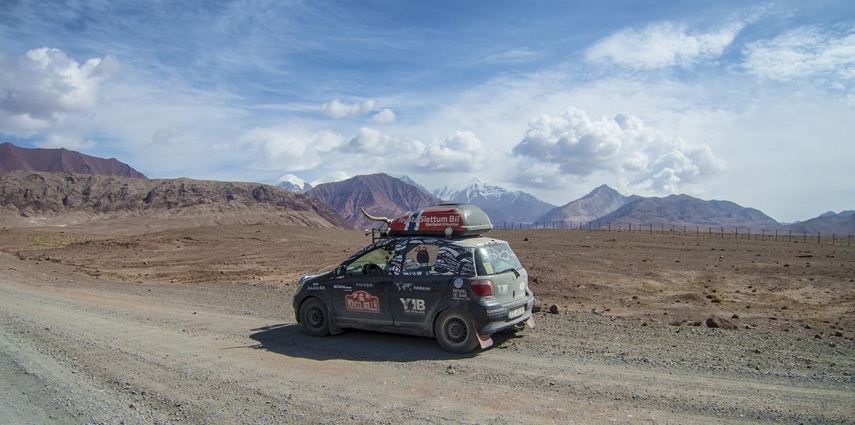
The next day, with our GBAO-permits in hand we are ready to drive the world’s second highest international road – the M41 – otherwise known as the Pamir Highway.
The highway runs from Dushanbe in Tajikistan to Osh in Kyrgyzstan, through the Gorno-Badakhshan Autonomous Province. It is the region’s main supply route and has in the 20th century been the setting for the Tajikistan Civil War as well as border disputes between China and the Soviet Union.
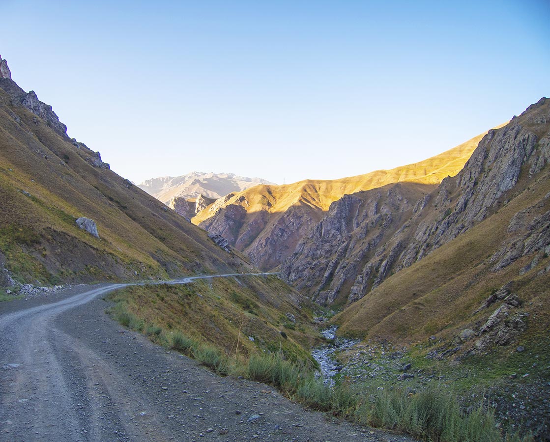
The Pamir Highway runs 1300 km from Dushanbe in Tajikistan to Osh in Kyrgyzstan
Before leaving Dushanbe though, we make it to a Toyota dealer. We’re still looking to tighten a few screws here and there – particularly on the sump guard, since it’s been rattling quite a bit lately.
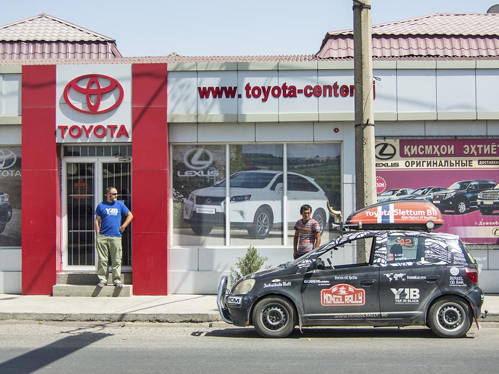
Toyota dealership in Dushanbe
After waiting for half an hour (because it’s lunch, dontchaknow), the three young guys at the dealership soon find out that we need a mechanic. So the general manager takes us to see his brother’s workshop.
After a two-minute drive, we get to the brother’s garage.
Where it turns out he hardly has any tools.
We don’t get the sump guard or the cow horns tightened, but at least we get the oil changed and the airfilter cleaned.
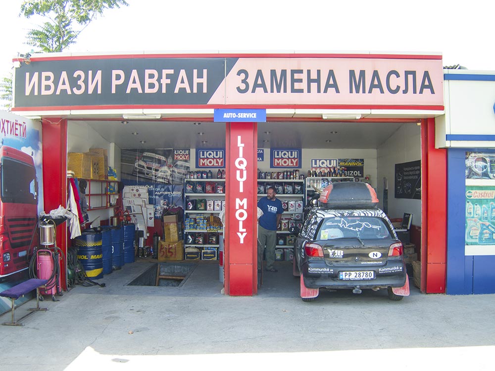
Oil change
We’re leaving Dushanbe behind. To make it across the Pamir Highway will take us about 4 days due to lousy roads, so we’ll have to drive slowly and carefully. In many places the road is comprised of one pothole after the other, while at the same time being too narrow for two cars to pass each other.
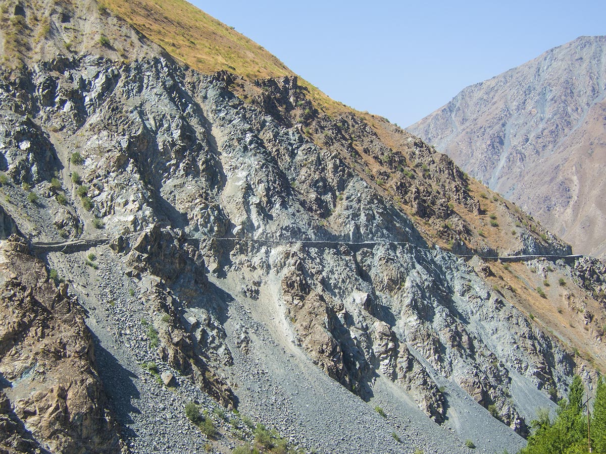
It can get quite narrow on the Pamir
Add to that the danger of rock slides, bad weather at 4000 meters above sea level, the possibility of altitude sickness (which can set in at 2500 meters), bandits, drunk drivers and mountain goats blocking the road, and you’ve got yourself a nice drive of about 1300 kilometers at 30 kmh.
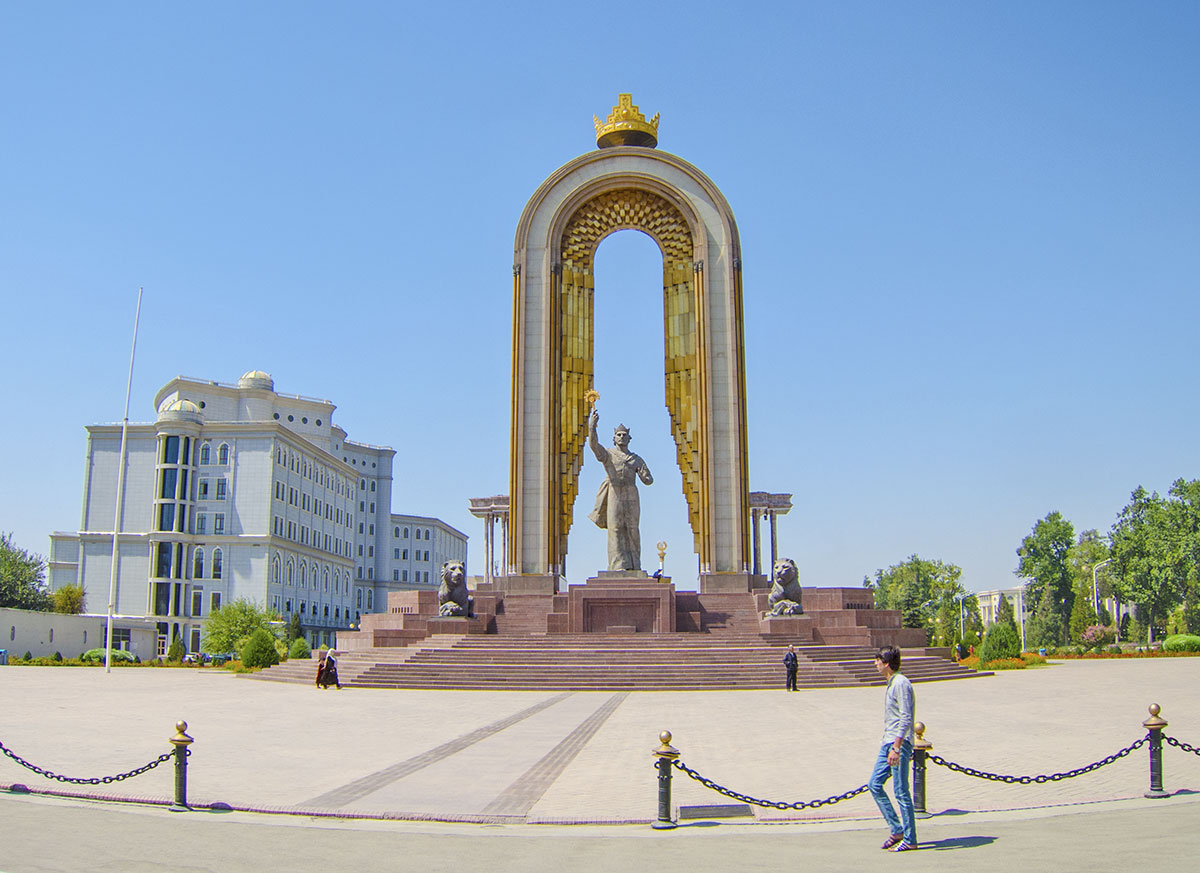
The Ismail Somoni Monument in Dushanbe
We leave the bustling city of Dushanbe with its bazaars and eternal roadside construction and buy some fruit, salty crackers and water for the trip. In these warm climates, dehydration is a real worry, so we always make sure we have enough fresh water and salty crisps or crackers between population centres. Since you can’t really drink any tap water between Turkey and Mongolia, we’ve been buying bottled water continuously.
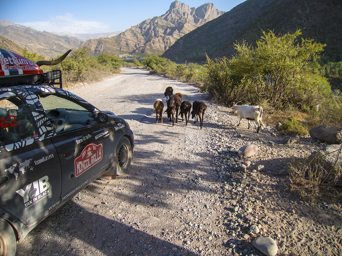
The Pamir Highway and some goats
The map takes us in the direction of Khorog, which two years earlier saw some military action that killed almost forty people. Not to worry, since it’s been pretty quiet in the area recently, so we decide that Khorog will be the first major stop we’re aiming for.
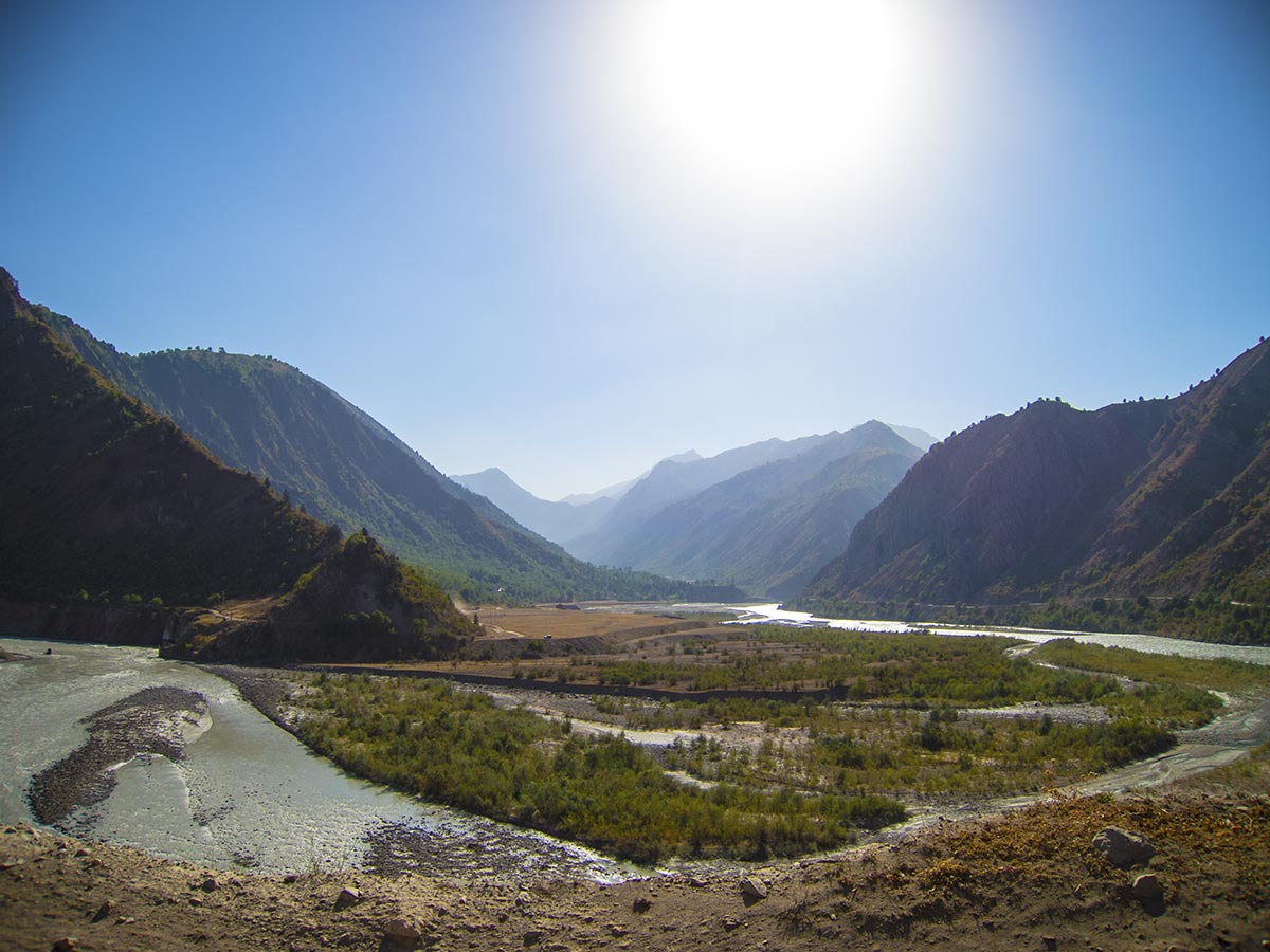
The Pamir Highway
For once it seems that time is on our side, and that we even might make it across the Afghan border for a day trip. Afghanistan is directly south of our route, and there are daily markets near Eshkashem and the Wakhan Corridor that sound like they might be interesting.
We’d also get a nice passport stamp in our collection 😉
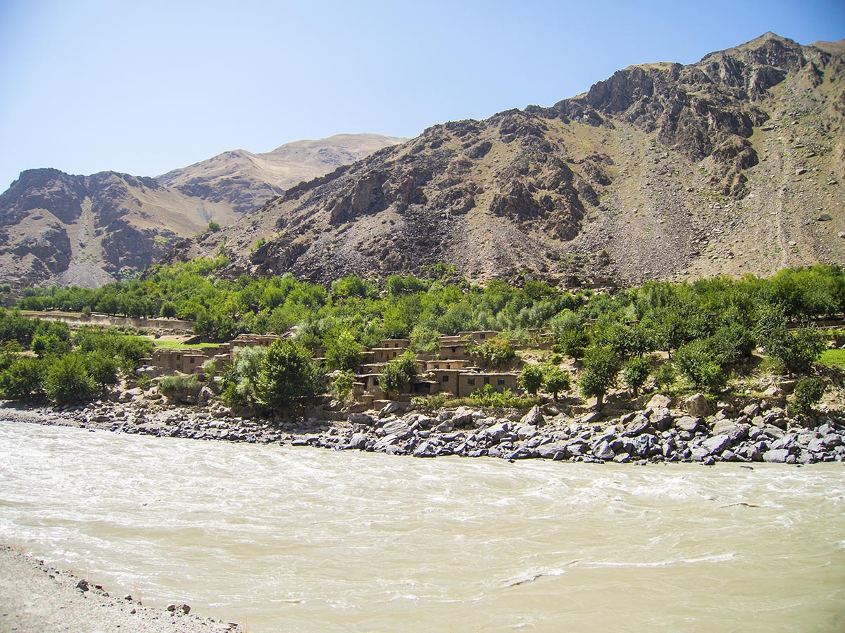
That’s Afghanistan on the other side of the river
Driving towards Khorog makes us realize how bad roads can get!
Amazingly, people apparently pay money to have their bones and internal organs vibrated in massage parlors, but this is ridiculous. Sometimes it’s so bad, you can’t even talk to each other, since your vocal cords vibrate so much it sounds like you are talking in harmony with yourself.
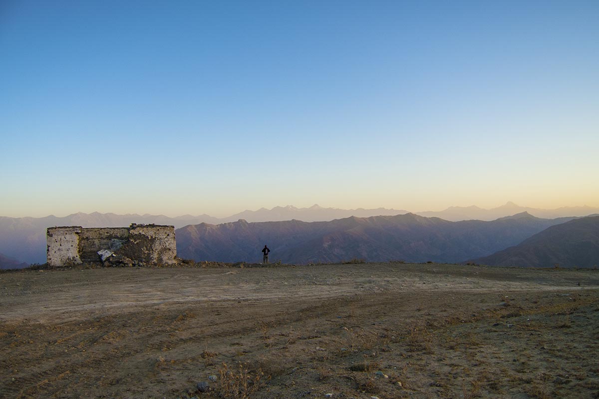
Camping in the mountains
In the end, we don’t make it to Khorog before it gets dark. Driving in darkness on a mountain with these types of roads is tantamount to suicide, so we start looking for a place to set up camp.
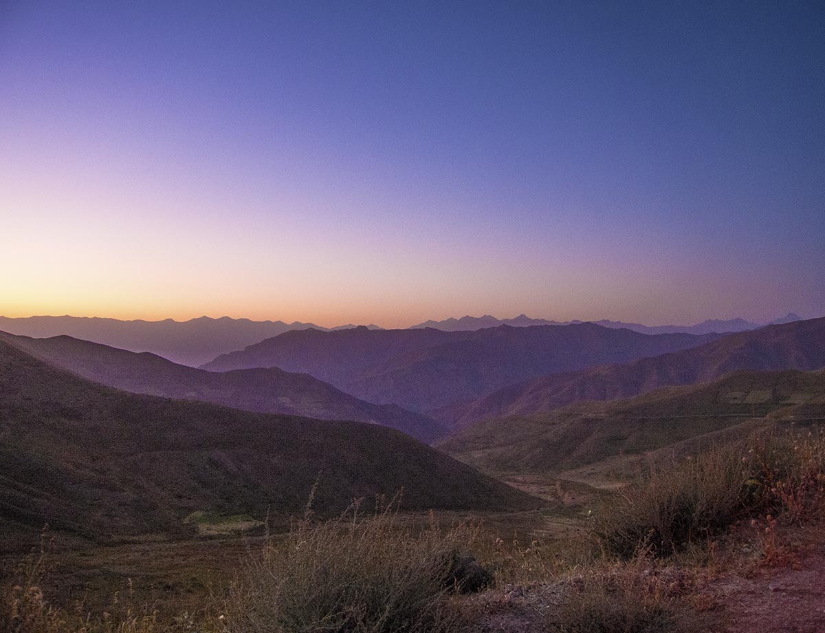
Evening glory in the Pamir mountains
Before the light is completely gone, we stumble over a Soviet-era military building, that at one point must have been some kind of garage for trucks or similar. We are quite happy with this, since our digital altimeter lets us know that we are at about 3000 meters, and it’s also starting to get cold.
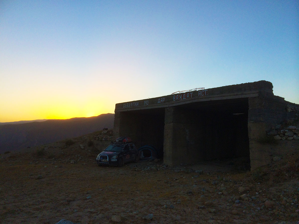
Camping in an abandoned Soviet garage
It’s now completely dark. We turn on the auxiliary lights on the side of the car and take out our gear. Our two popup-tents are up within 10 seconds, and five minutes later we both snooze with the wind screaming around the concrete shell of the garage.
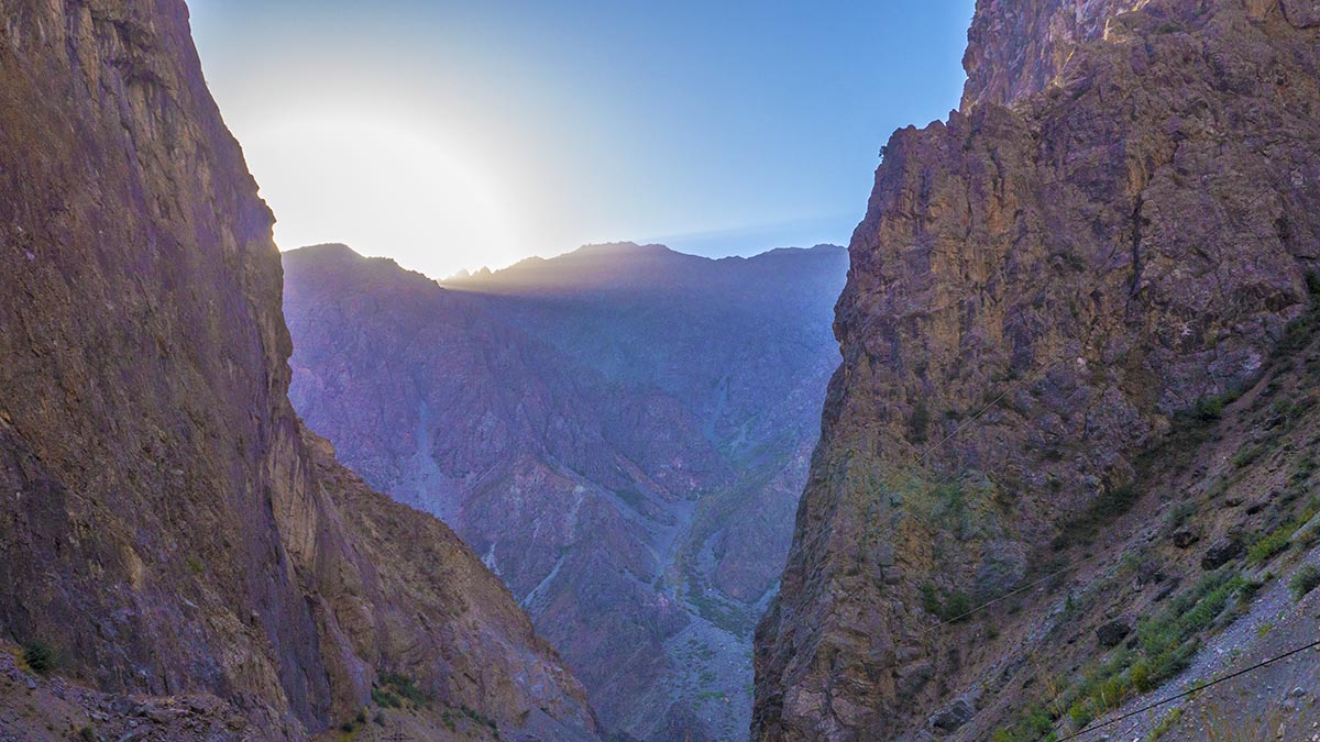
The early sun
The morning is nothing if not spectacular.
At 6am the thermometer is stuck at 5 degrees, but we’re just happy we haven’t been nibbled on by one of the increasingly rare snow leopards during the night.
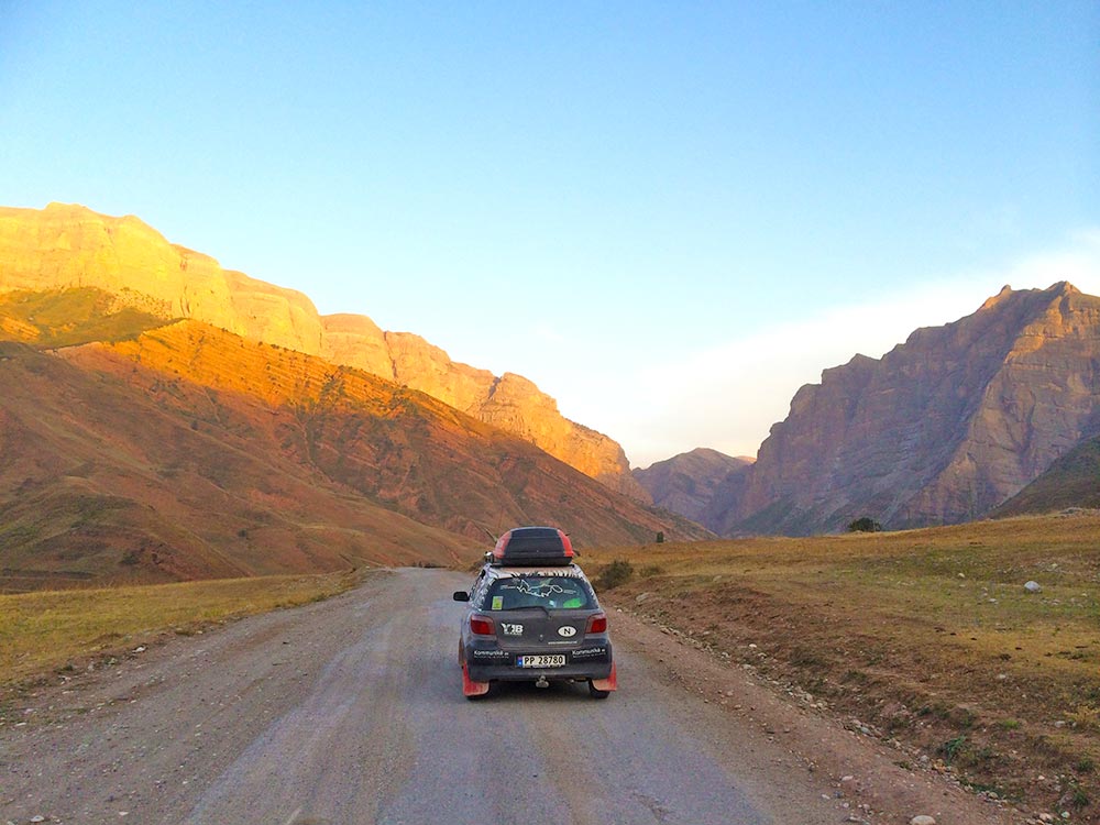
Beautiful Pamir
The view is unforgettable across the mountain ranges of the Pamir, and the light spectrum from blue to yellow, orange, red and purple makes this a fantastic way to start your day of driving narrow and winding roads.
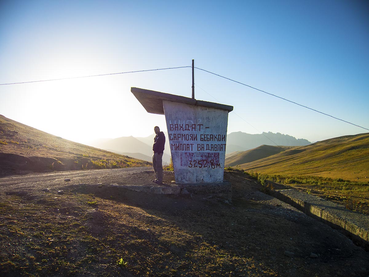
We had our papers randomly checked by a police officer who only wanted a cigarrette
We continue on towards Rŭshan, while the roads deteriorate even further. We hadn’t thought it possible, but we’re now driving so slow as to make us think that walking would be a preferable way of travelling.
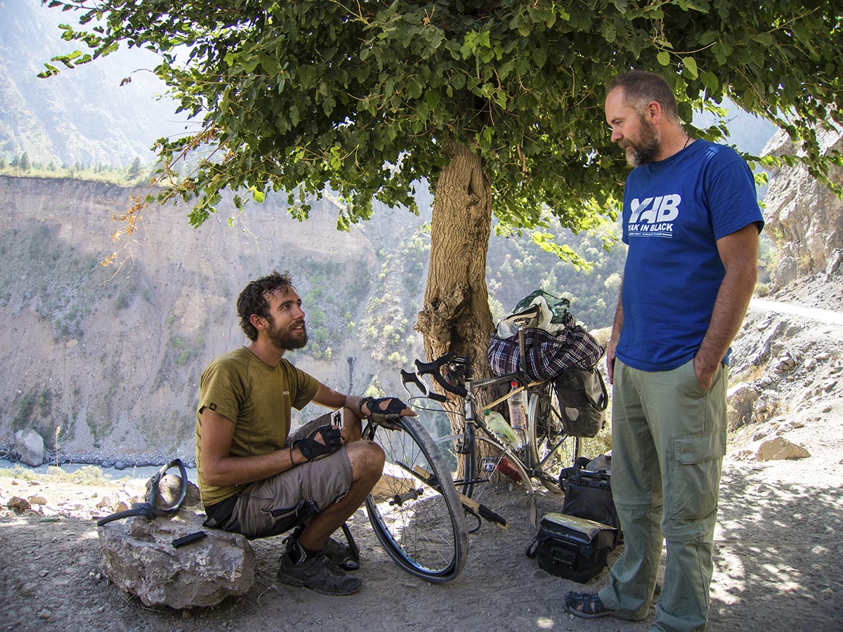
David is cycling the Pamir Highway from England
Fortunately, there is precious little traffic on the mountain, and certainly no one is suicidal enough to try and overtake the Yaris on the winding roads.
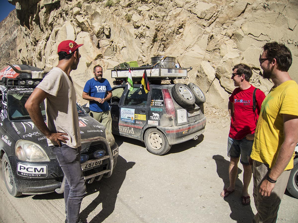
Teams from the Tajik Rally we met on the Pamir Highway
Once in a while we meet lorries that come from Kyrgyzstan or China, but also teams from the Tajik Rally. Most of the time we manage to get out of their way, as there are a few meeting points dug out of the mountainside.
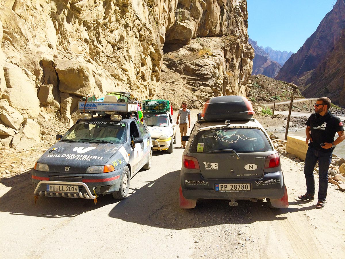
More teams from the Tajik Rally going to Dushanbe
So on one side of the road you have the steep mountain, where it seems an avalanche of rocks the size of a small apartment building might fall on you at any moment, while on the other side of the car there is the abyss of the road disappearing into the valley a few thousand meters further down.
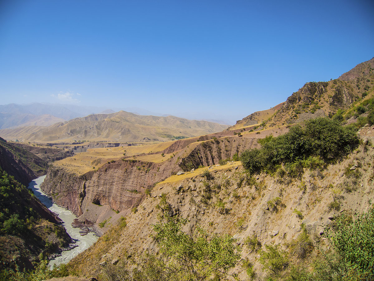
Sometimes it’s a long way down
For the past hour or so the vibrations have made the car’s sump guard come loose, and it’s rattling more than ever. The village of Rŭshan is getting closer, so we hope we’ll find a mechanic in town, to maybe weld the steel plate back on.
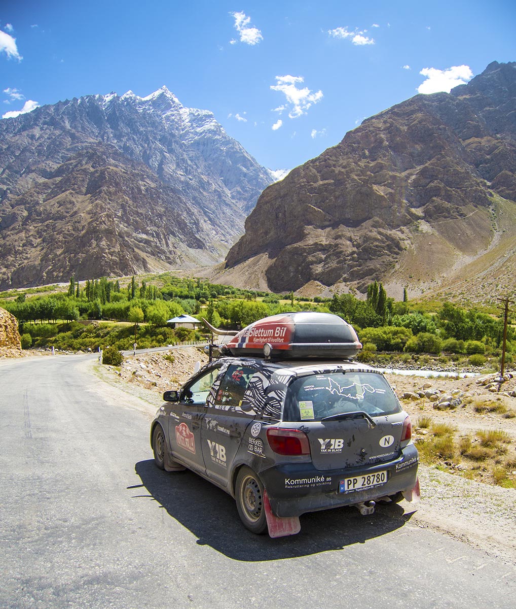
The Pamir Highway – no SFX involved
So far, Yaris Hilton hasn’t let us down yet.
The sump guard is another matter though, and it’s absolutely vital that it doesn’t come off as the roads are sure to get worse. We need to find a mechanic!
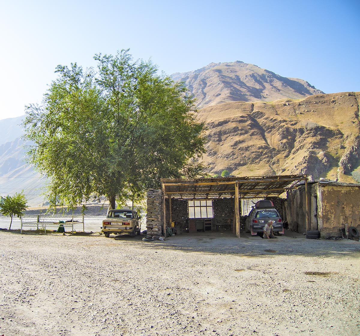
A mechanic who works on Sunday
We manage to find one eventhough it’s Sunday, and he proceeds to spot weld the sump guard back in place.
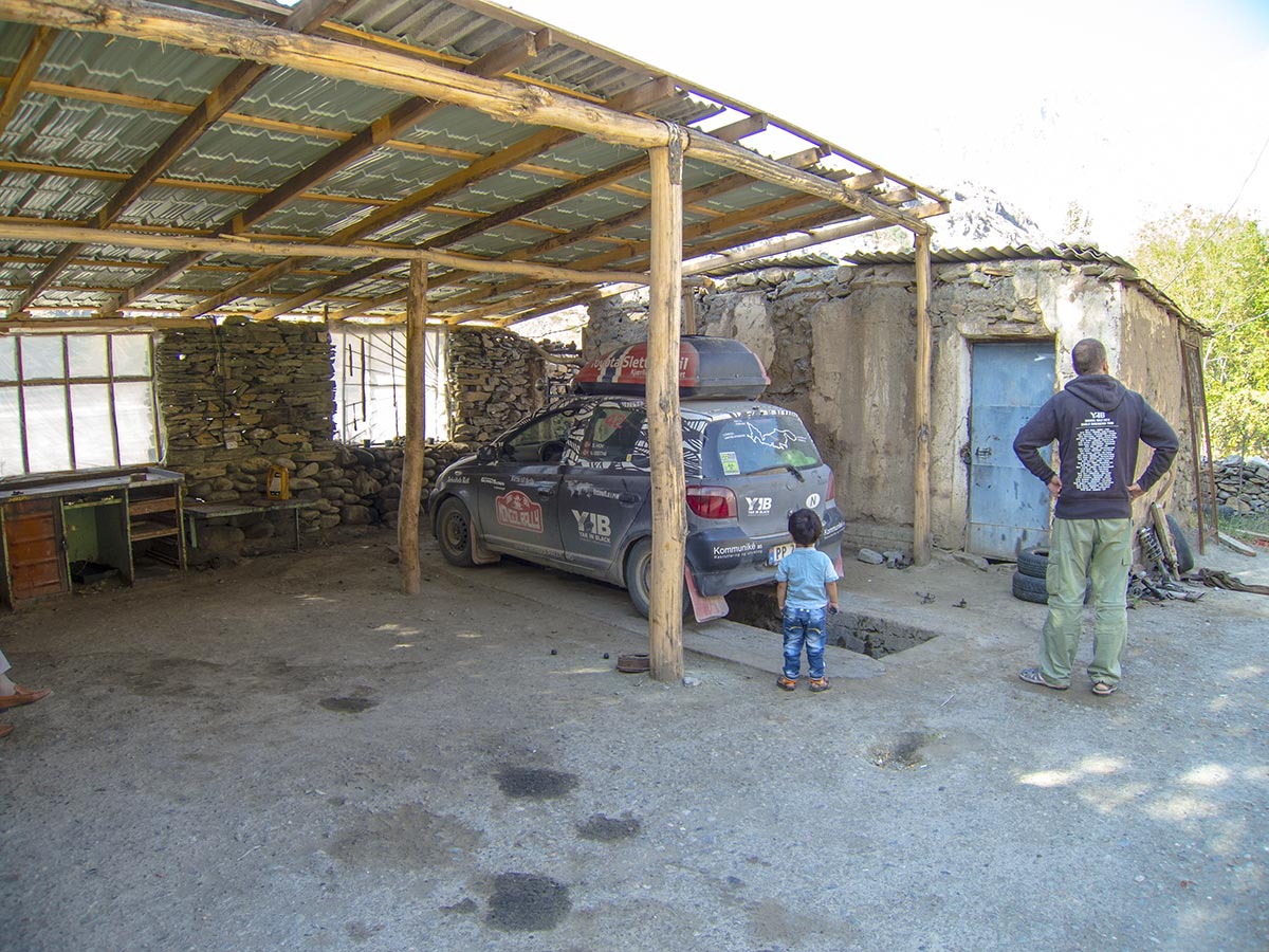
Pondering the problem
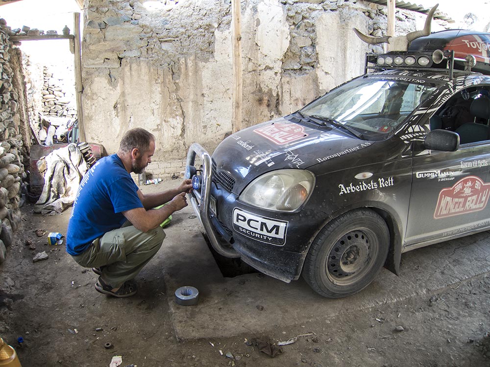
Taping the lights with duck tape (yes, you heard me)
After a couple of hour’s work, where the military and a few tourists drop in to do some first aid on their own cars, we’re off again. This time, sans rattling.
Nice.
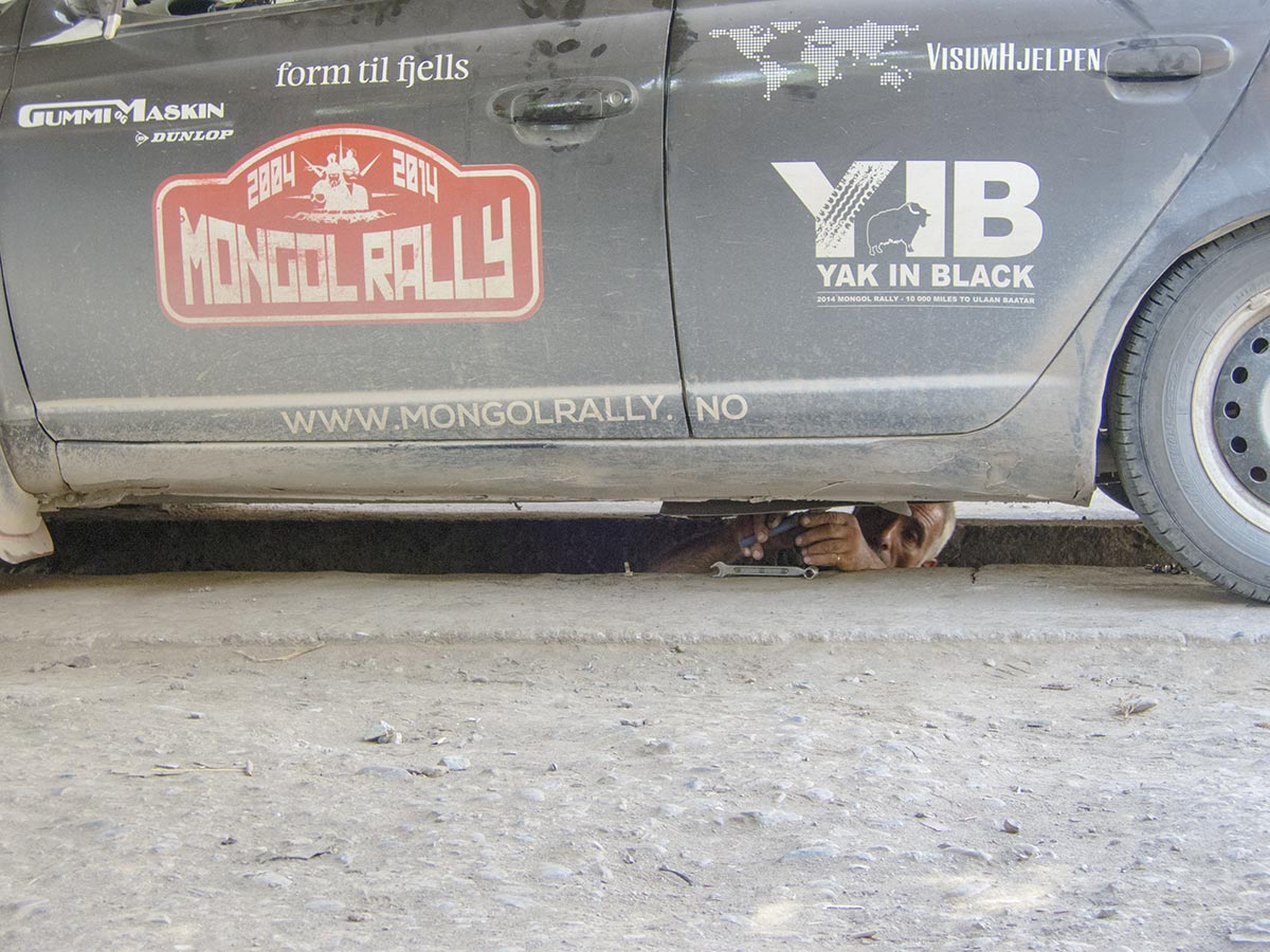
Tightening the screws on the car’s sump guard
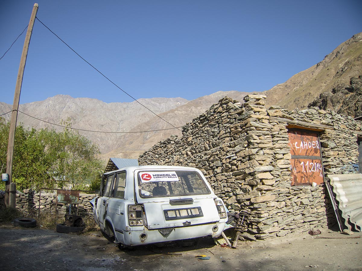
An early contestant in the Mongolia Charity Rally
After leaving the village of Rŭshan it’s on to Khorog.
Suddenly, the road shows us who’s boss.
After a particularly nasty piece of – for want of a better word – road, we hear a mighty crunch and the sump guard at the back is torn off, crumpling as it is dragged under the car.
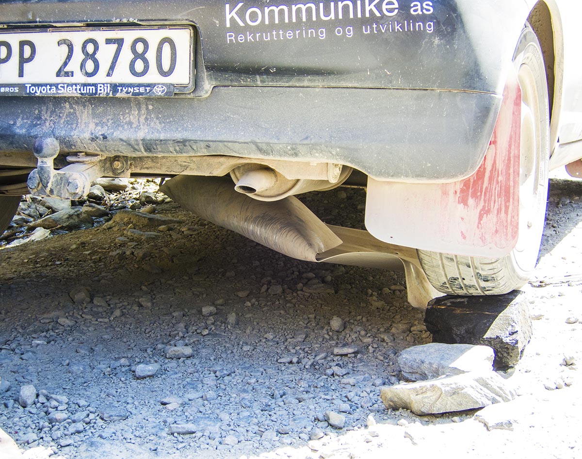
Ripped our sump guard off
We find a place that is wide enough for us to pull over, and start making what repairs we can. This consists of elevating the car with rocks and our jack, so we can get to the sump guard. After removing the piece of metal, we put it in the car and take it with us.
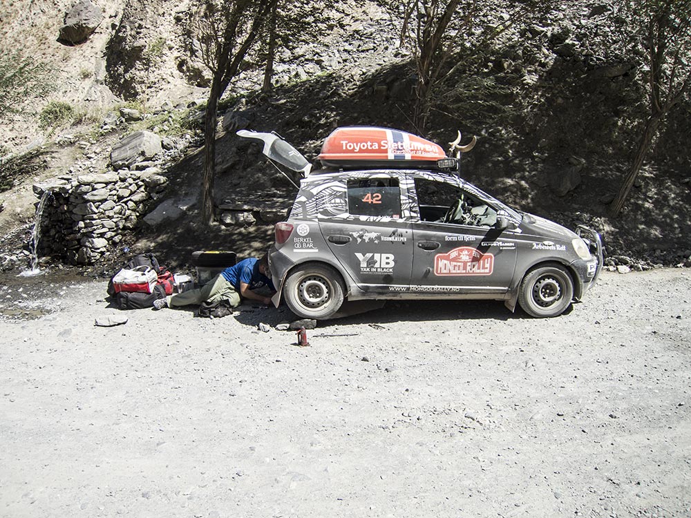
Removing what’s left of the sump guard
Hopefully we’ll find a place where we’ll be able to reattach it, as it is unthinkable to drive the Pamir without this type of protection.
We reach Khorog with the sun’s last rays shining down on us. It’s too late to go hunting for a mechanic, and we are too exhausted anyway to do anything but find a guesthouse for the night.
Modern Khorog is the capital of the Gorno-Badakhshan Autonomous Province. About 28000 people call it home, but it is also one of the poorest areas in Tajikistan – although it doesn’t necessarily look it on the surface. There is the Khorog State University, which attracts quite a few young people from across the country, as evidenced by all the snappily clad students we see in the streets.
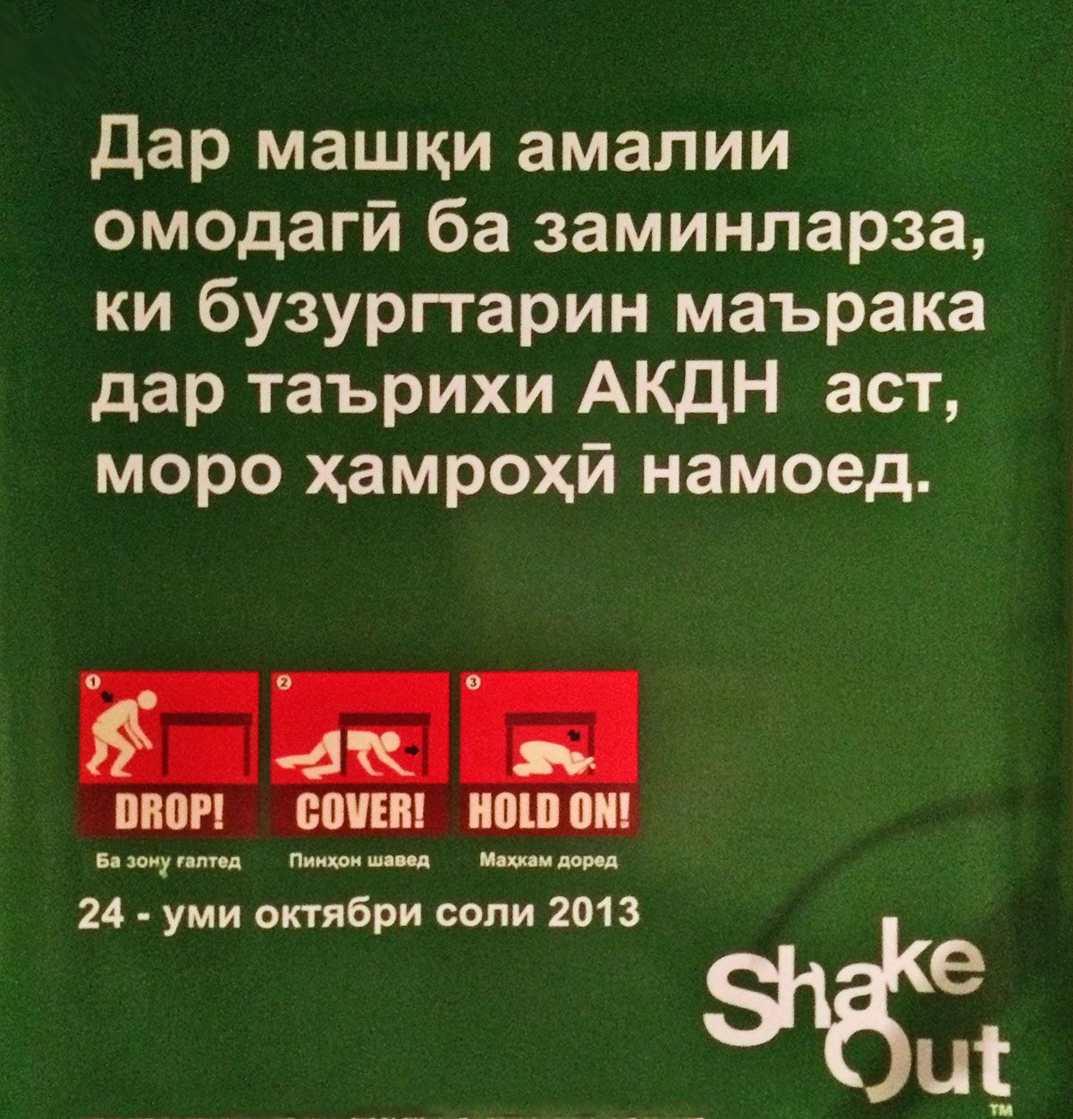
Preparation for the next earthquake in Khorog
Additionally, the town boasts twelve schools, several hospitals, a museum and the second highest botanical garden in the world. Alas, there is no time to smell the flowers, as the Pamir once again beckons.
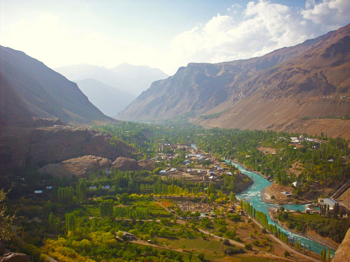
View of Khorog from the Botanical Gardens
The next day sees us go north again, as the sump guard is welded on with some WWII-era type welding equipment at a military camp.
After spending the first night at over 3000 meters and the second at 2200, we feel quite confident that we won’t have any problems with altitude sickness when we reach the Pamir Highway’s topmost point: the Ak-Baital Pass at 4655 meters.
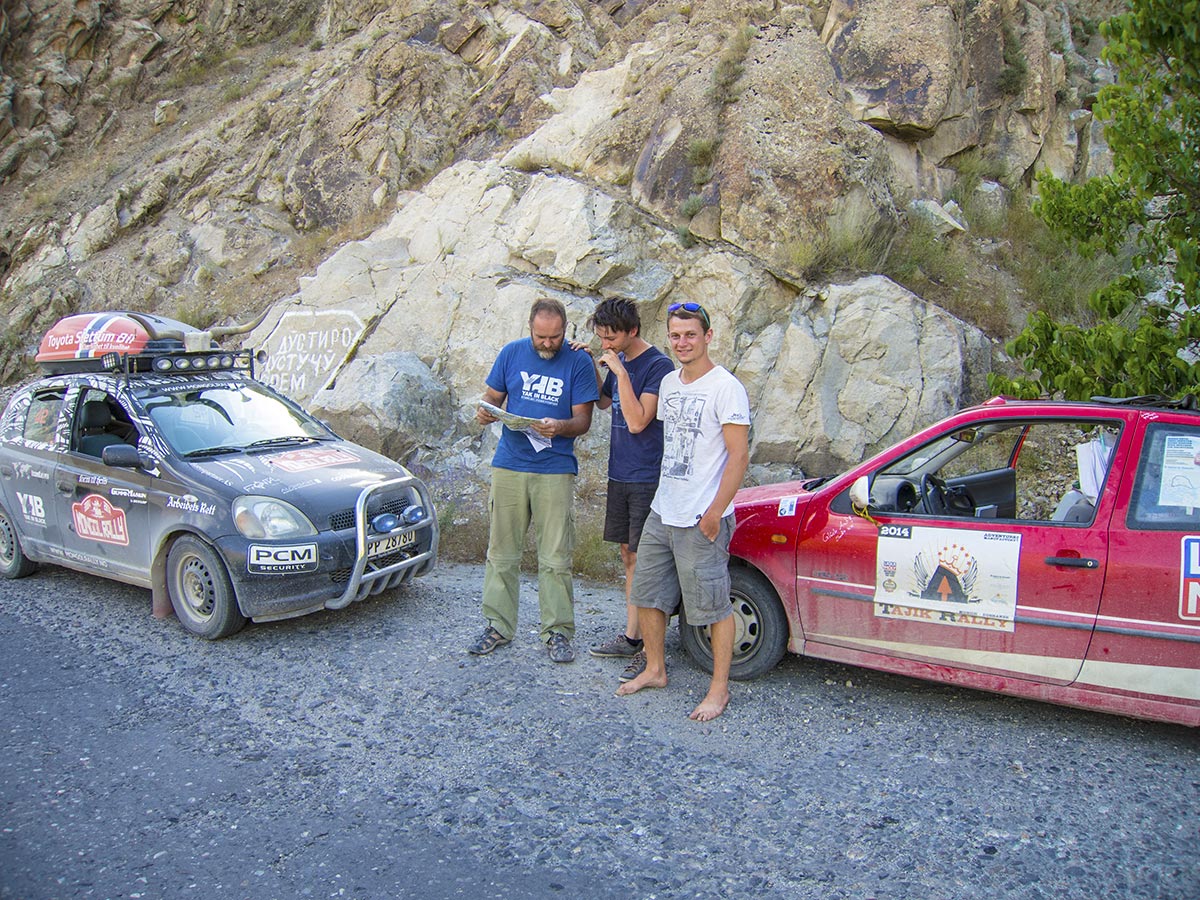
A team from the Tajik Rally
The thought of travelling one of the most inaccessible parts of the old Silk Road is exciting.
The Pamir mountains are comprised of a mountain range formed by the junction of the Himalaya with Tian Shan, Karakoram, Kunlun and Hindu Kush ranges. They are among the world’s highest mountains, and have since Victorian times been known as the «Roof of the World».
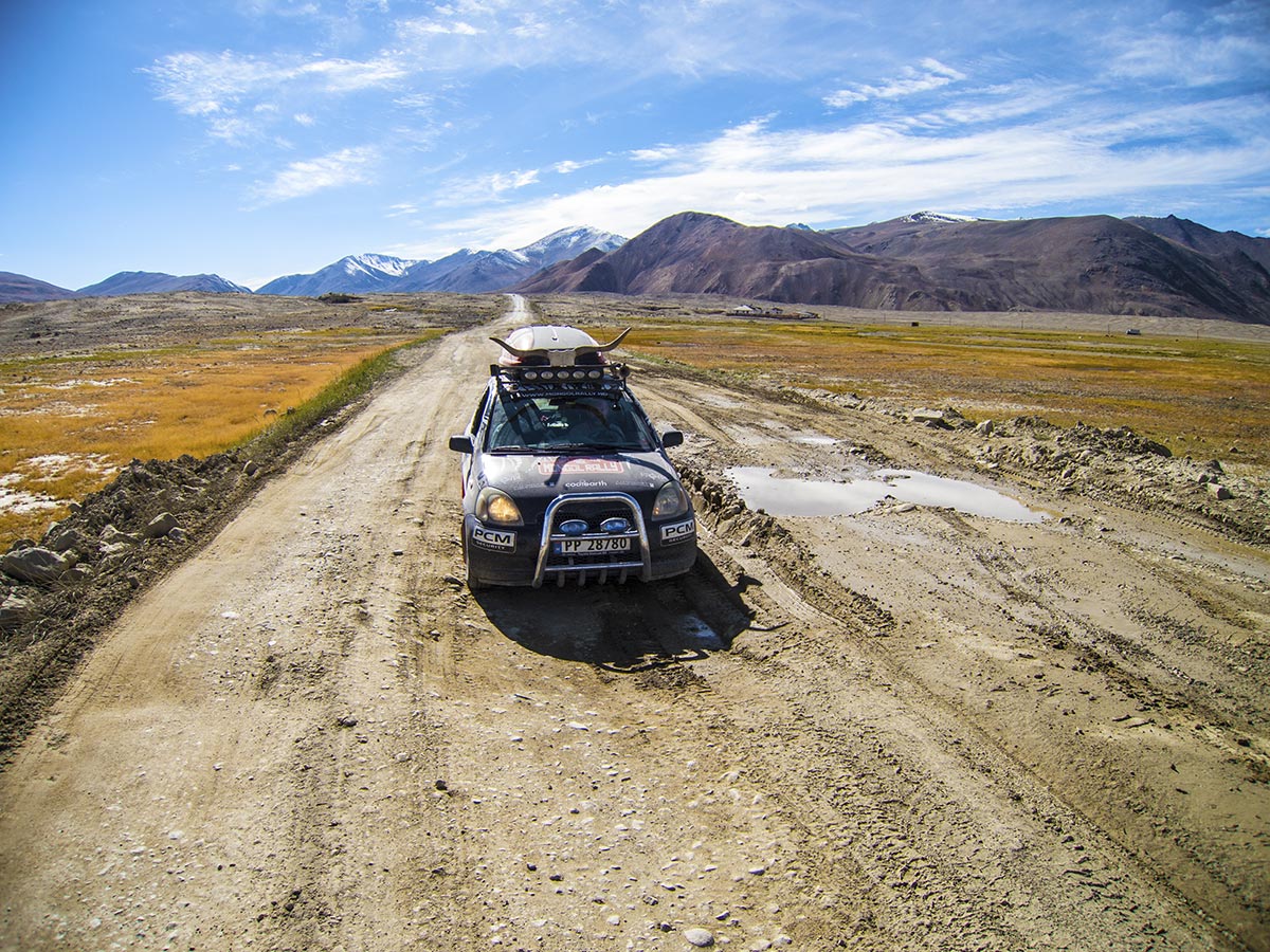
The Pamir Highway
From Khorog we go to Shughnon and Murghab, and there are more fantastic views of mountains, rivers and small forests clinging to the rock.
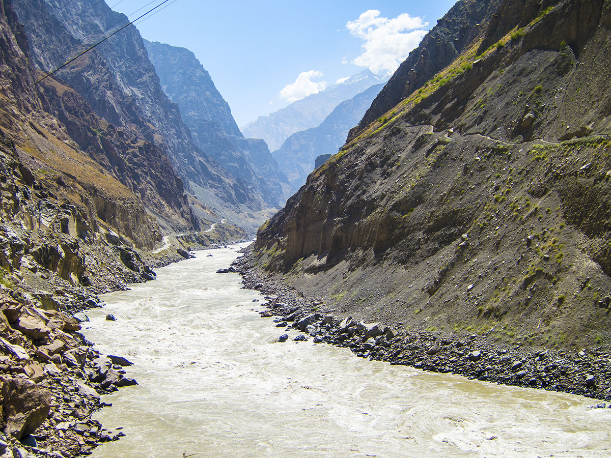
A river cutting through the rock
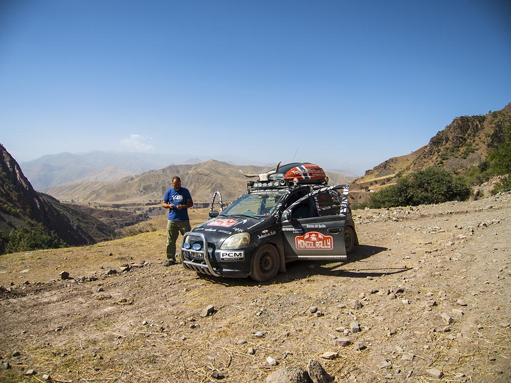
The Pamir Highway
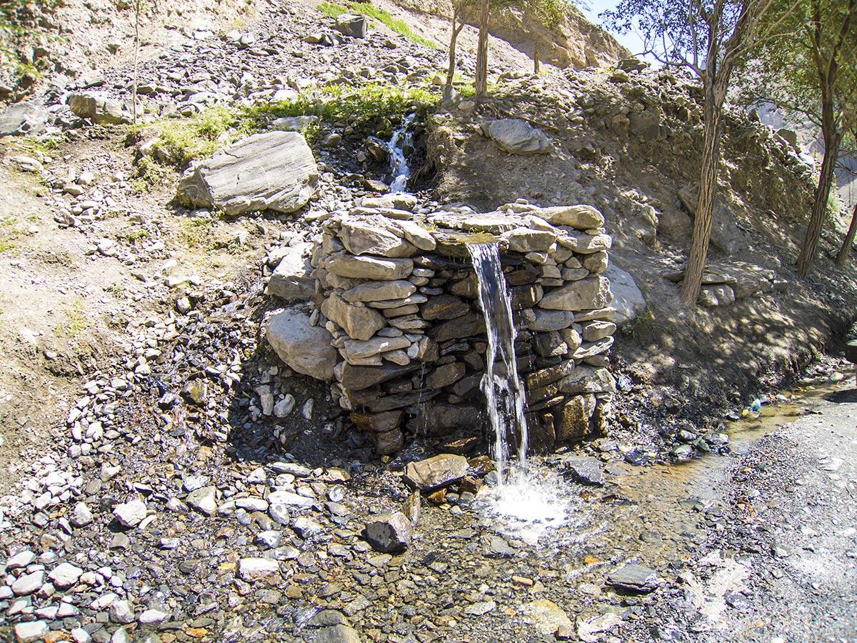
A brook we didn’t drink from
As we continue on our way, we pass several checkpoints on the Pamir. This is where our GBAO-permits are thoroughly looked over by military officials. Usually the car draws a few laughs, but at these times it’s all business.
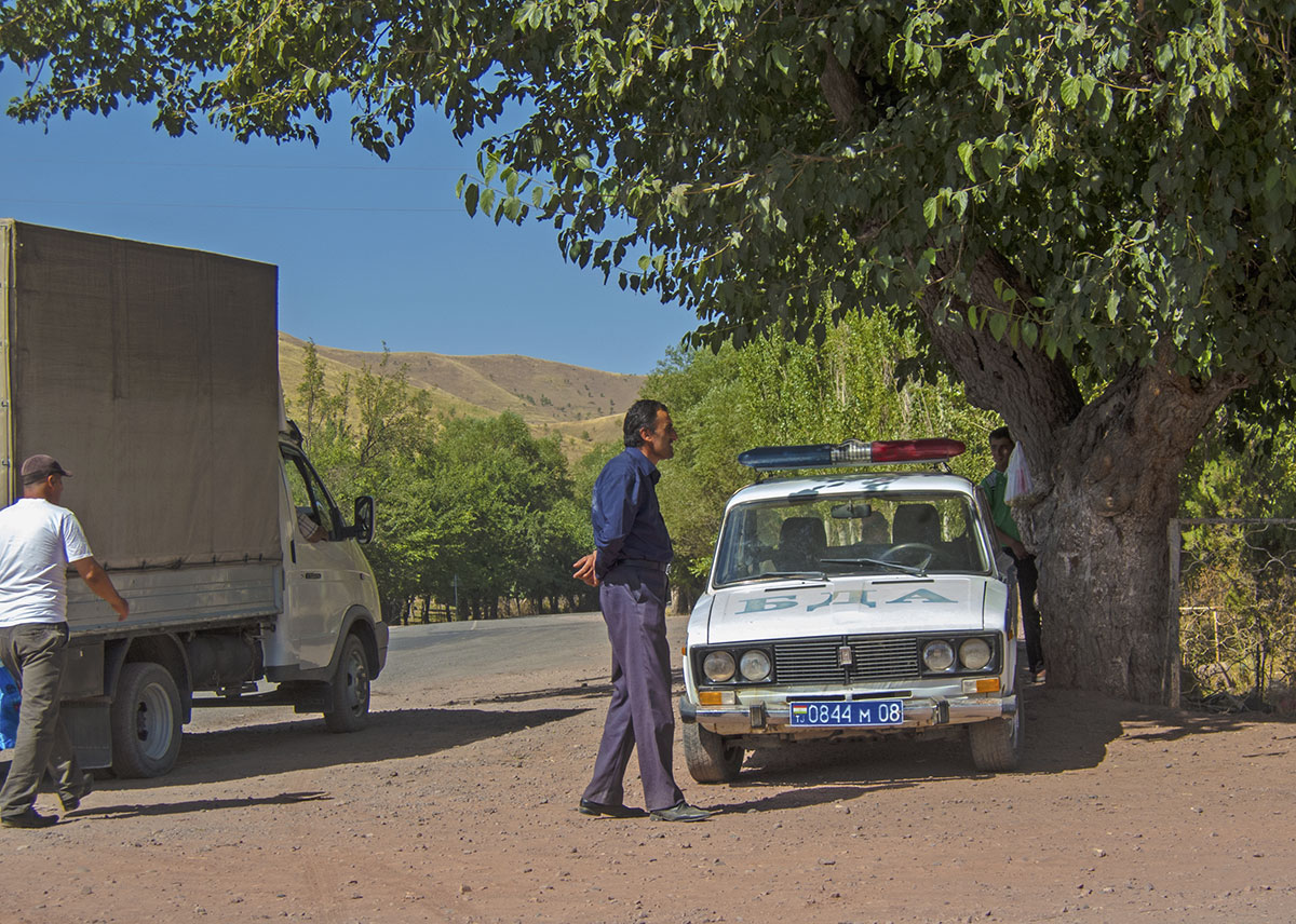
A checkpoint – no photography allowed, so we do it quiet-like
All in all we must have passed ten checkpoints, but with the unrest that this area has seen in the past it makes sense that Tajikistan is interested in having a military presence where their country meets China and Afghanistan.
Talking about Afghanistan – we are now late again, as we’re delayed due to the sump guard that had been torn off. Maybe there’ll be a next time for us to visit.
The road now takes us higher and higher, as we slowly approach 4000 meters.
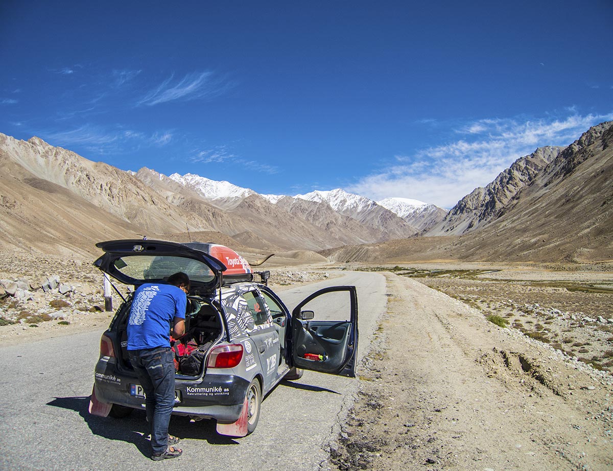
The Pamir Highway – getting close to 4000 meters
We still meet the odd car and lorry, but what fascinates us the most, is that the number of cyclists increases the higher up we get. We stop each time to have a chat with these strange creatures, and soon find out that most of them are either English, Swiss or German.
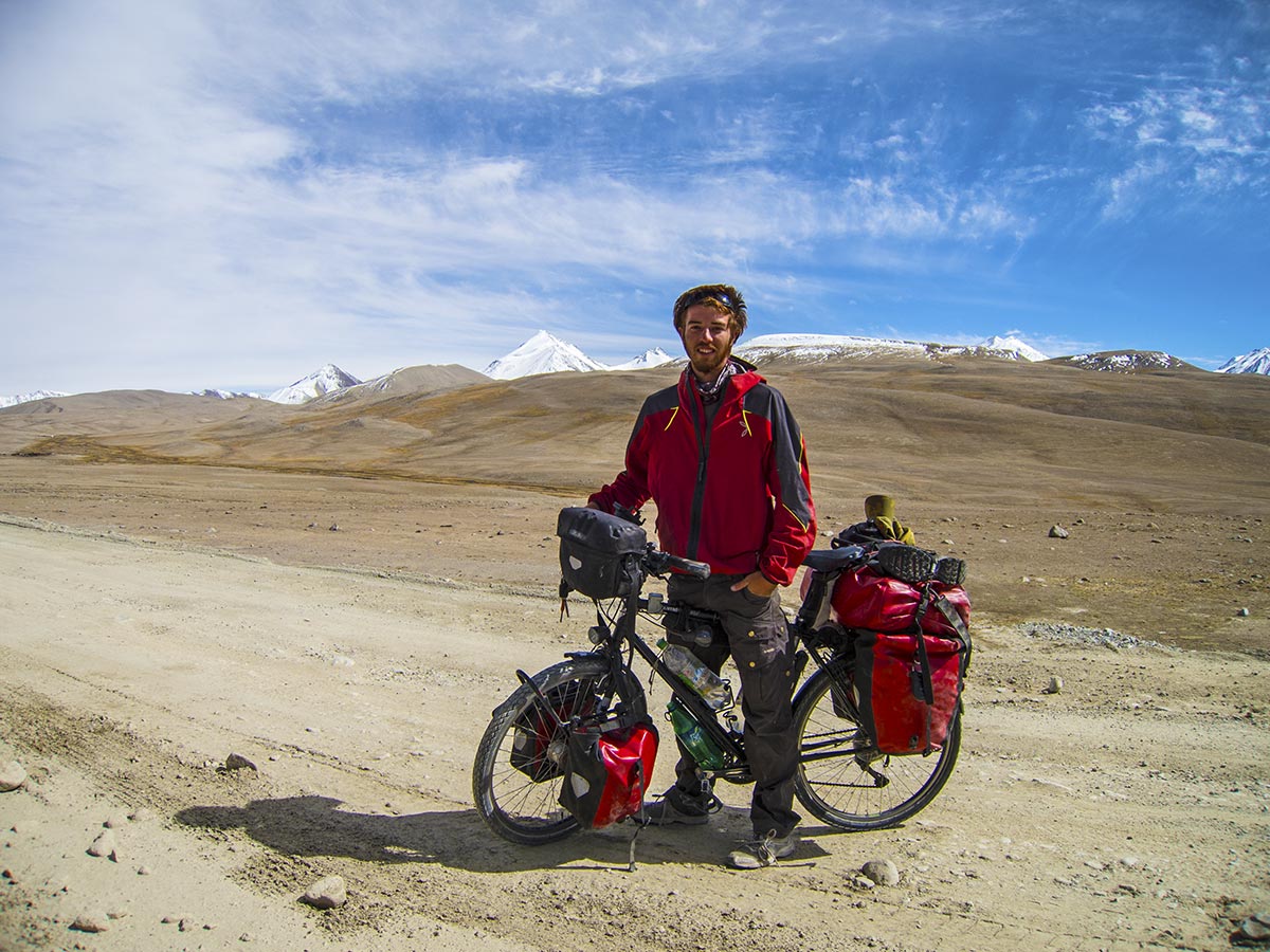
Robin, cycling the Pamir
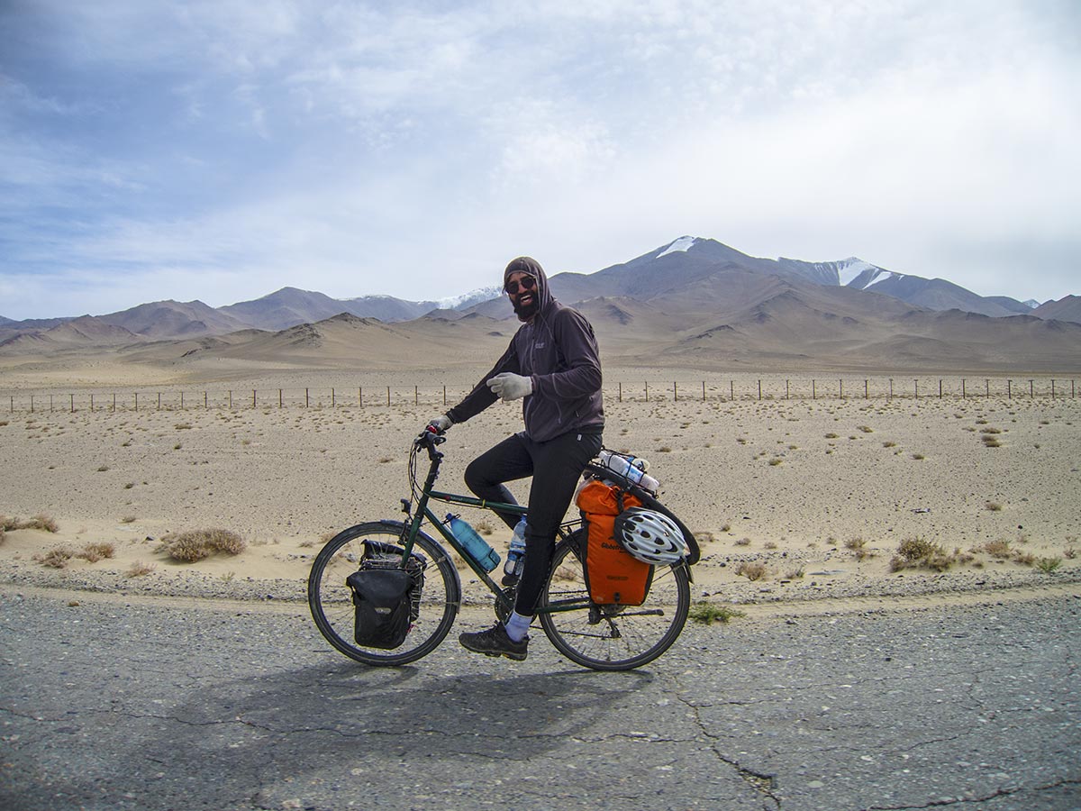
Carl, also cycling the Pamir
Interestingly, the road gets a bit less hole-y, and we’re even talking about how it’s almost better than some of the roads back home, and-
We shouldn’t have said that, as we drive through and over a bump that almost gives us a concussion from the waist up!
We are not the only ones having trouble with the road, as we go past a trailer truck that seems to have gotten stuck in the sand. Maybe the driver fell asleep at the wheel, as the road at this point is certainly wide enough to accommodate several trucks.
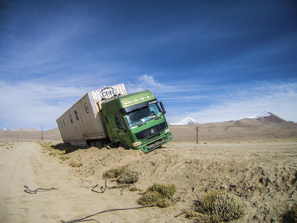
Offroad on the Pamir Highway
We’re going higher and higher – closer to the snow-capped mountain tops. The air is clear and it’s only 16 degrees up here. We realize we’re getting close to the highest point of the Pamir pass, as the numbers on the digital altimeter keep climbing steadily.
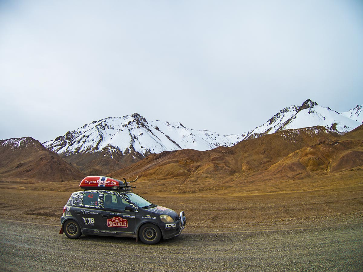
Snow-capped mountains in the Pamirs
Finally, we are there. If it hadn’t been for us being on the lookout for it, we might as well have missed it: the official sign.
This marks the highest point of the Mongol Rally – the Ak-Baital Pass at 4655 meters above sea level.
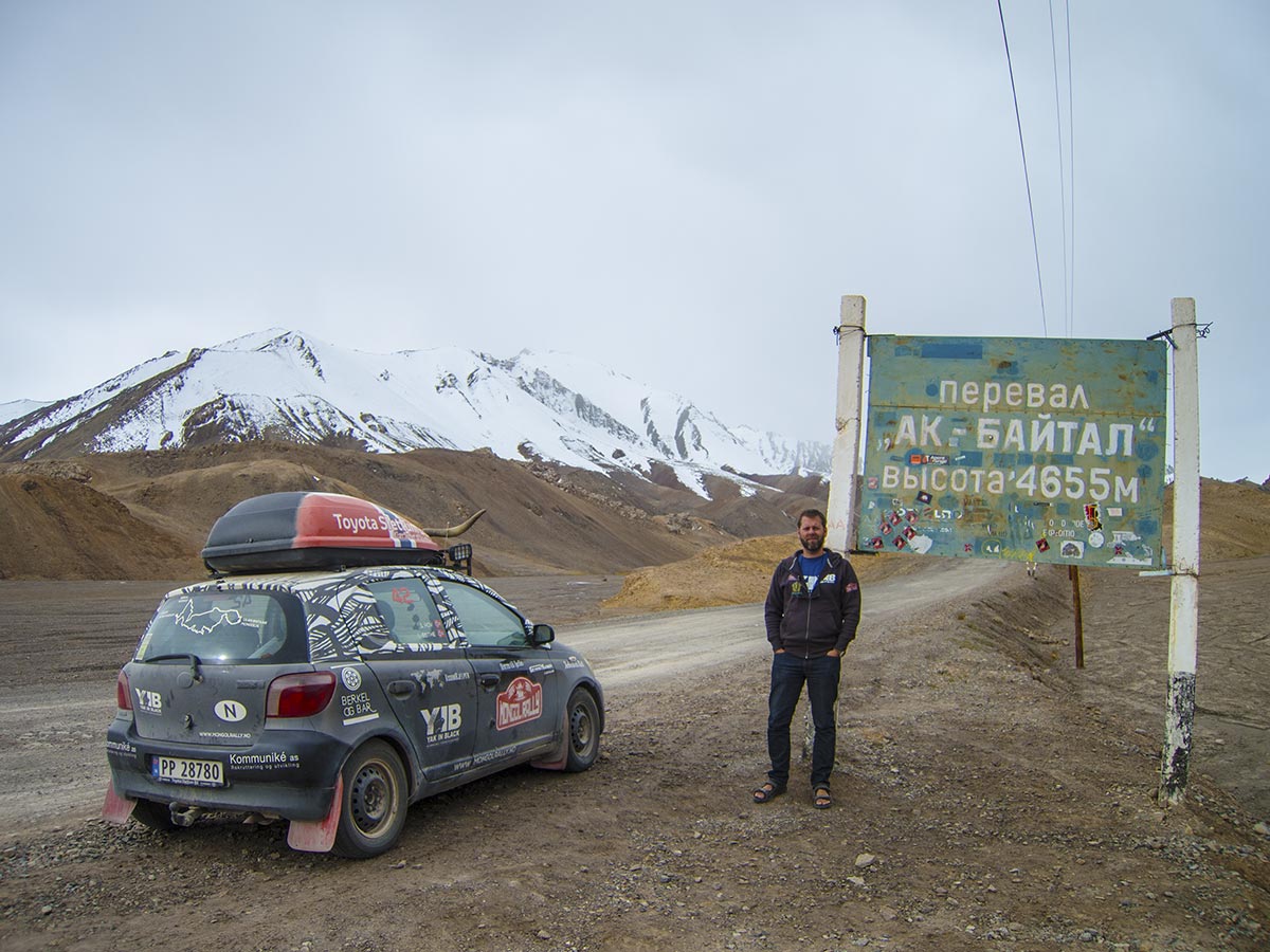
4655 m above sea level
We take a last look at the mountain peaks that seem so close, and that in some way remind us of home. From here on in the road descends again, although we’ll be hitting a few mountain passes of over 3000 meters later as well.
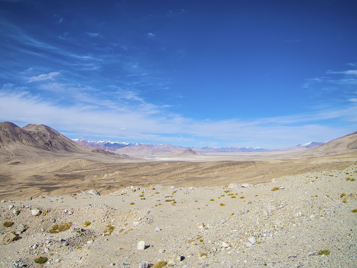
View from the Pamir Highway
After a while we notice that there is a fence running next to the road.
It’s made out of wooden posts, topped with a horizontal piece that in turn is topped with razor wire.
After a while, we realize what it is: the border between Tajikistan and China to the east.
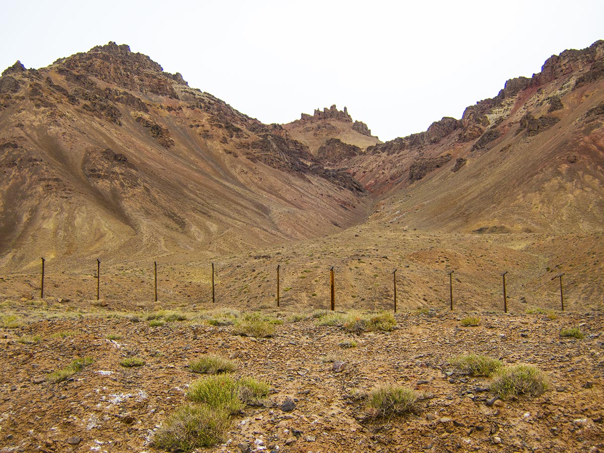
On the other side of the fence: China
As we start thinking about where to spend our last night on the Pamir Highway, an interesting vehicle presents itself on the horizon: it’s Ghengis Cone, a fellow Mongol Rally team!
Ray and Marc drive a Suzuki SJ410 1985, with a 970cc engine and a top speed of what they describe as «60 m.p.h downhill with a tail wind».
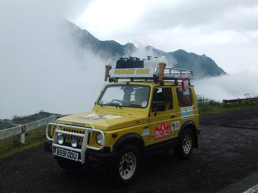
Photo: Ghengis Cone, Ray and Marc
We decide to join forces, and after a few hours we all get to share a room at the Ibragim Anara Guest House in Murghab. It’s dark, and the town has a communal approach to the usage of electricity: half the day the southern part of town gets it, the other half it’s vice versa. A good thing then, that the Ibragim Anara Guest House has its own generator.
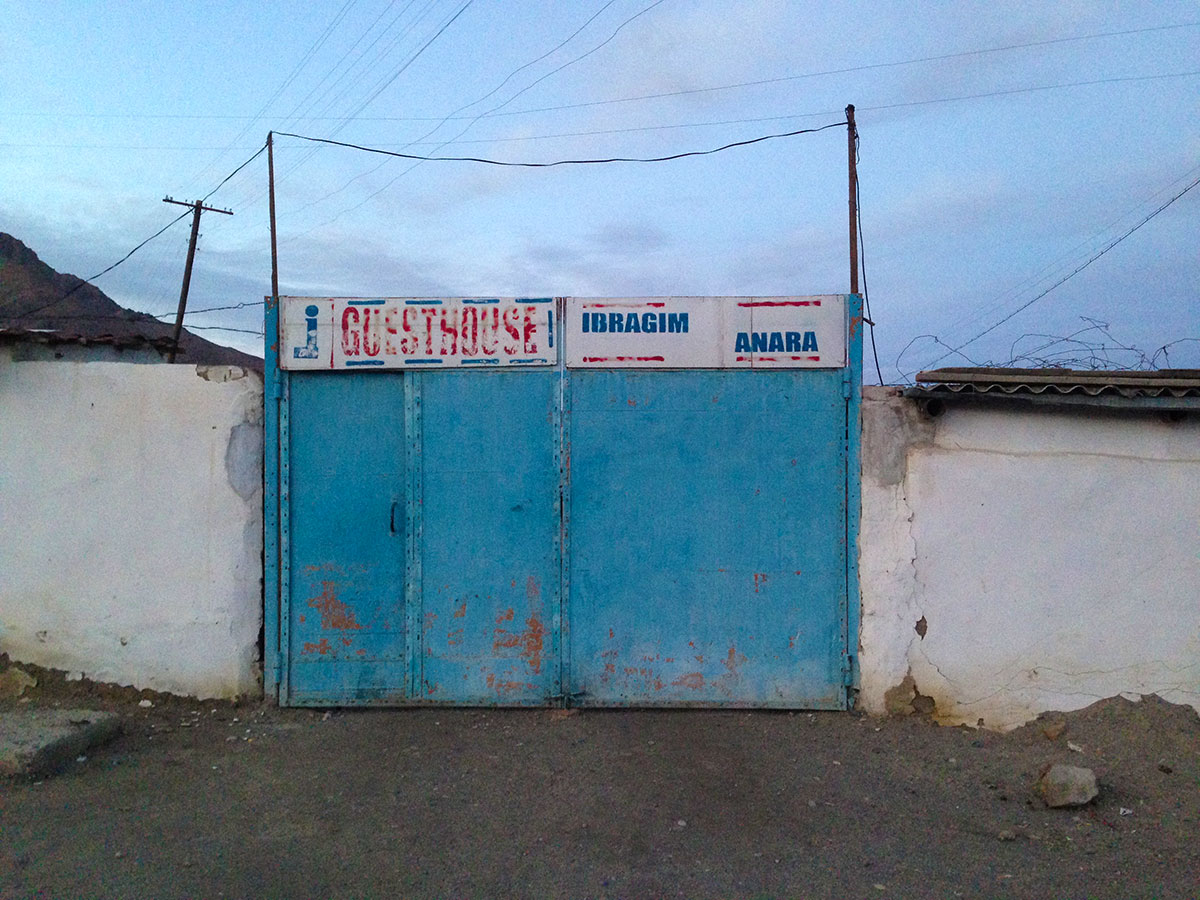
The Ibragim Anara Guest House in Murghab
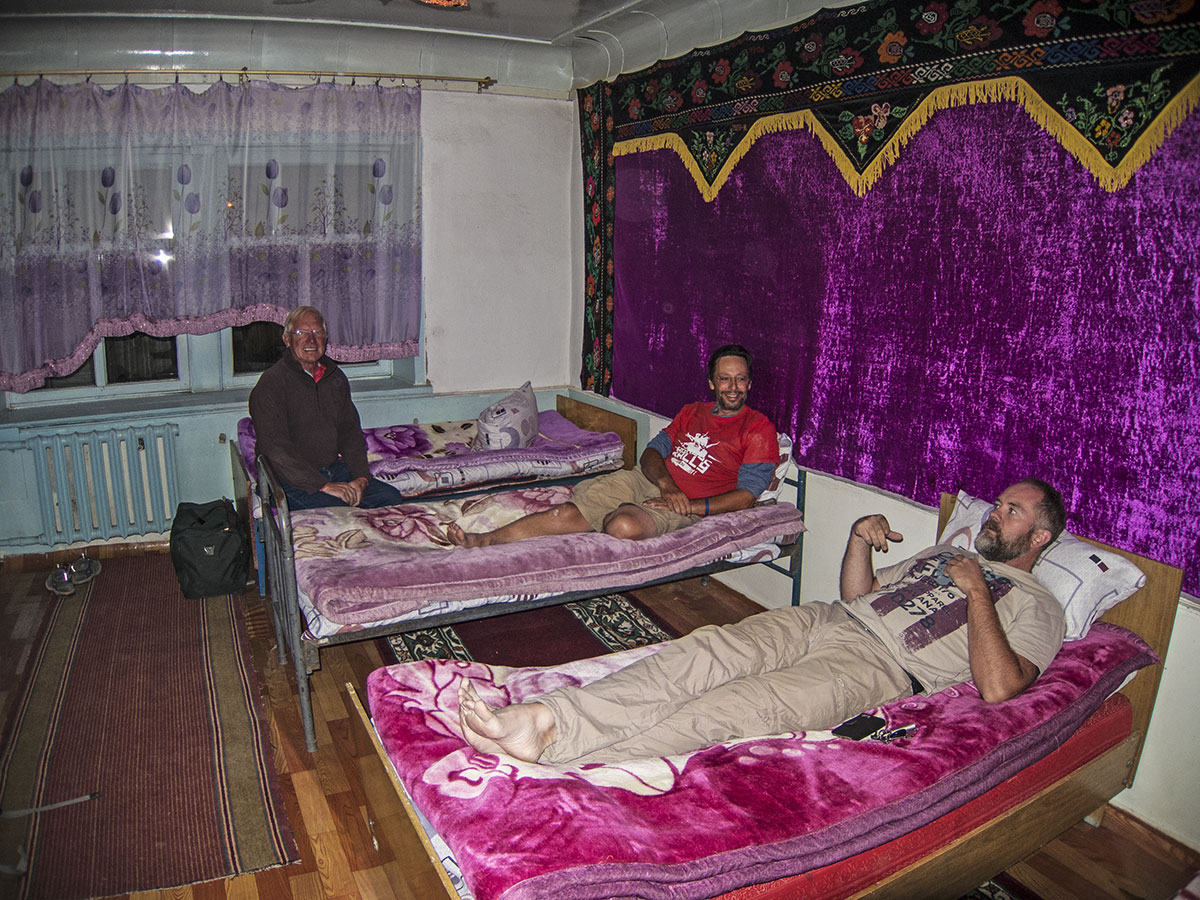
Sharing a dorm room with Ghengis Cone
The next day we start before breakfast. Ray and Marc mumble their goodbyes, as we once again start eating the miles. We’re almost done with the main part of the M41, which is the official name of the Pamir Highway, and we’re heading towards the Kyzylart Pass. It’s a mountain pass and border crossing in the Trans-Alay range on the border of Tajikistan and Kyrgyzstan, where the highest point is 4280 m.
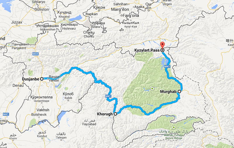
Our route along the Pamir Highway
If everything goes well, the roads aren’t trying to kill us and the border crossing goes off without a hitch, we might even make it to Osh in Kyrgyzstan by nightfall.
Right.
Check this out

